Distance Between Two Places
Distance Between Location - Summary
Related Map Tools
Travel Info Finder
Use this tool to get detailed information about any country, like population, area, tourist places
Map Distance
Find driving (road) or air distance by entering location.
Zip Code Finder
Find Zip codes by entering a location, or clicking the map
Map Elevation
Click on the map or enter an address to get map elevation data.
Indian PIN Code by Location
Just allow location to find Indian PIN Code and address in a few seconds.
Map Route Planner
To use the map route planner, enter the start and end location
Watch this short video if you need help operating the tool:
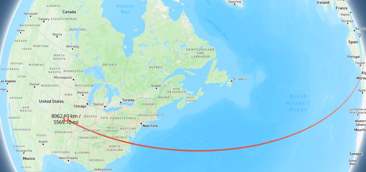
Note: The GapMapper is a tool that helps you measure the distance between two places or cities. It shows the route distance and travel time on the map and in the result section above. The time depends on the vehicle type and the speed entered. The distance result will be displayed in kilometers and miles, so you can use it for travel or geography-based purposes.
Time calculations use the default average speed: car (60 km/h), train (80 km/h), plane (700 km/h), unless a valid manual speed (10-1500 km/h) has been entered. Note that actual travel times may vary.